
 Photo: Wikimedia contributors · See source
Skyline Drive & Charlottesville
Enter Shenandoah at Front Royal, sleep near Big Meadows, then continue through Charlottesville and Middleburg over four days.
- Allow
- 4 days
- Route
- 580 km
- Drive time
- 8 hr 23 min
- Stops
- 7
Skyline Drive earns its fame by moving slowly. From Front Royal, the road follows the crest of Shenandoah National Park for 105 miles, with overlooks, trailheads and wildlife turning a short map distance into an all-day experience. The posted 35 mph maximum is part of the route, not an inconvenience.
Waynesboro releases the drive into the Virginia Piedmont, where Charlottesville and Monticello add difficult, essential history to the mountain scenery. Reserve Monticello directly, keep distance from wildlife and build a lower-elevation alternative for fog, ice, closures or severe weather.
The road, in one glance
Pinch or scroll with Ctrl / ⌘ to zoom
Drawing the route…
The route earns
its distance
Each pin is selected as a place to do something—not merely proof that you passed through.
 Photo: Wikimedia contributors · See source
Washington, DC
Collect the car only after the city stay and leave outside weekday rush periods.
Washington, D.C., officially the District of Columbia and commonly known as Washington or D.C., is the capital city and federal district of the United States. The city is on the Potomac River across from Virginia and shares land borders with Maryland to its north and east. It was named after George Washington, a Founding Father and the first president of the United States.
 Photo: Wikimedia contributors · See source
Front Royal
The Shenandoah Valley town is the practical northern gateway to Skyline Drive.
Front Royal is the only incorporated town in Warren County, Virginia, United States. The population was estimated at 15,400 as of 2023. It is the county seat of Warren County.
Photo: Wikimedia contributors · See sourceBig Meadows
A broad high meadow, trail network and dark sky make the park’s middle a natural overnight.
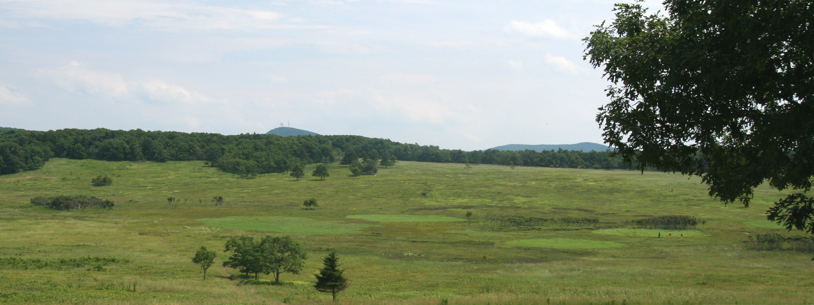
Big Meadows is a recreational area of the Shenandoah National Park in Madison County and Page County, in the US state of Virginia. The meadow is located on the Skyline Drive at Milepost 51 and contains the park's Harry F. Byrd Visitor Center, a lodge, camp store, and camping area.
 Photo: Wikimedia contributors · See source
Waynesboro
At the southern gate, mountain road gives way to the farms and towns of the Piedmont.
Waynesboro (; formerly Flack) is an independent city in the Commonwealth of Virginia, United States. It is one of two cities in the Staunton-Stuarts Draft Metropolitan Statistical Area, with Staunton being the largest. Waynesboro is located in the Shenandoah Valley and is surrounded by Augusta County.
 Photo: Wikimedia contributors · See source
Charlottesville
A university town and regional food scene provide the circuit’s lively second base.
Charlottesville, colloquially known as C'ville, is an independent city in Virginia, United States. It is the county seat of Albemarle County, which surrounds the city, though the two are separate legal entities. The former capital of Virginia, it is named after Queen Charlotte.
 Photo: Wikimedia contributors · See source
Monticello
Architecture, plantation history and the lives of enslaved people demand a considered visit.
Monticello ( MON-tih-CHEL-oh) was the primary residence and plantation of Thomas Jefferson, a Founding Father, author of the Declaration of Independence, and the third president of the United States. Jefferson began designing Monticello after inheriting land from his father at the age of 14. Located just outside Charlottesville, Virginia, in the Piedmont region, the plantation was originally 5,000 acres (20 km2), with Jefferson using the forced labor of enslaved black people for extensive cultivation of tobacco and mixed crops, later shifting from tobacco cultivation to wheat in response to changing markets.
 Photo: Wikimedia contributors · See source
Middleburg
A compact horse-country town breaks the return to Washington into an easy final afternoon.
Middleburg is a town in Loudoun County, Virginia, United States. As of the 2020 census, Middleburg had a population of 669. It is the southernmost town along Loudoun County's shared border with Fauquier County.
Drive the conditions,
not the itinerary.
Check NPS alerts and entrance fees, allow a full day for Skyline Drive, obey 35 mph limits and stop only at signed overlooks. Fog, ice and storms can close sections.
Checked against
the people who run it
Distances and driving times are planning estimates. Conditions, closures, ferries, permits and park rules can change, so check the linked official guidance before setting out.